Summary of Activities for 2024
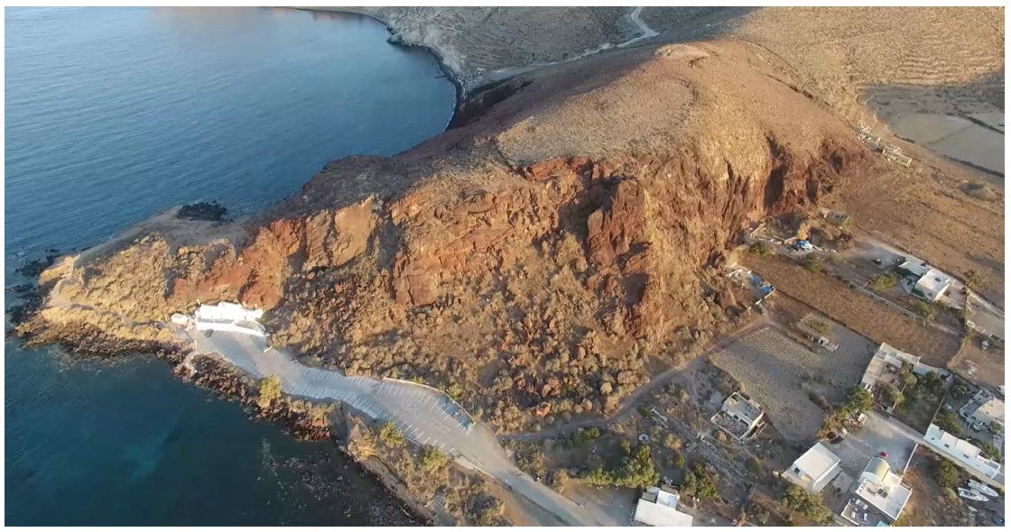
Kokkino Vouno, the steep pyroclastic hill located above the chapel of Agios Nikolaos
and at a short distance from the archaeological site of Akrotiri, was known to
archaeological research from the single-day excavation conducted by Spyridon
Marinatos in 1968 (see Proceedings of the Archaeological Society at Athens 1968 and
Excavations at Thera II of the same year), as well as from a limited number of surface
finds collected over the years by Christos Doumas and Andreas Vlachopoulos (see A.
Vlachopoulos, “Kokkino Vouno: a purlieu of the urban centre at Akrotiri ”, ALS.
Periodical Publication of the Society for the Support of Prehistoric Thera, Issue 8,
2012 (2019), pp. 154–170).
The presence of diagnostic surface finds dating to the Late Cycladic I
period—including fragments of wall paintings, pottery, stone artifacts, pieces of
copper, and mineral specimens—together with the exceptionally strategic location of
the hill for overseeing the southern part of the island and the coasts of Thera,
controlling the southbound maritime routes, and providing visibility extending as far
as the northern coast and mountain ranges of Crete, formed the basis for the
Interdisciplinary Surface Survey Project at Kokkino Vouno.
The project commenced in 2024, with fieldwork conducted from 1–15 July and the
study of the recovered material from 8–15 September.
The 2024 investigations on the summit and slopes of Kokkino Vouno included the
following:
The survey was undertaken and completed by Professor Emeritus of Geology
Gregoris Tsokas (Aristotle University of Thessaloniki).
2. Topographical Survey of the Hill by Surveying Engineer Dionysios Niotis
(National Technical University of Athens)
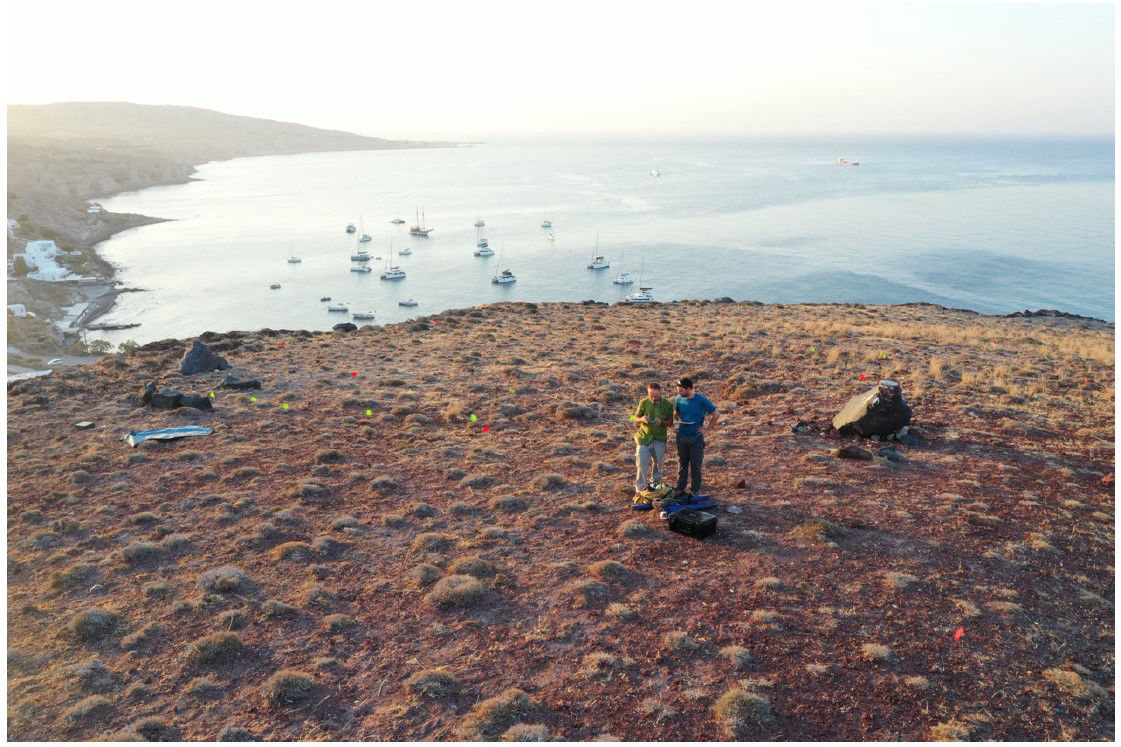
For the purposes of the surface survey, the area accessible for investigation (the
summit and slopes of the hill) was divided into a survey grid marked on the ground
with semi-permanent markers. The principal grid consisted of 50 × 50 m squares,
each containing 10 × 10 m sub-squares. In addition, points of interest identified
digitally by the Laboratory of Applied Geophysics of the Aristotle University of
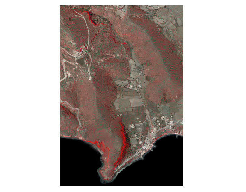
Thessaloniki were marked on the ground. Aerial photographs covering the entire area
of interest were acquired for the production of orthophotomaps at various scales
(1:50–1:1000). Natural and anthropogenic landscape features were recorded to
facilitate an accurate overview of the study area and their faithful representation in
plans. Elevation data were also collected to ensure the precise depiction of the area's
geomorphology. The project greatly benefited from cadastral data provided by
Ktimatologio S.A. (Hellenic Cadastre) following the issuance of a special permit
authorizing their use for university researchfig. 1).
Throughout the surface survey, both horizontal and vertical coordinates of the finds
were recorded under the direction of the archaeological research team.
3. Systematic Identification and Recording of Surface Remains at Kokkino Vouno
Taking into consideration safe access—particularly due to the steep eastern and
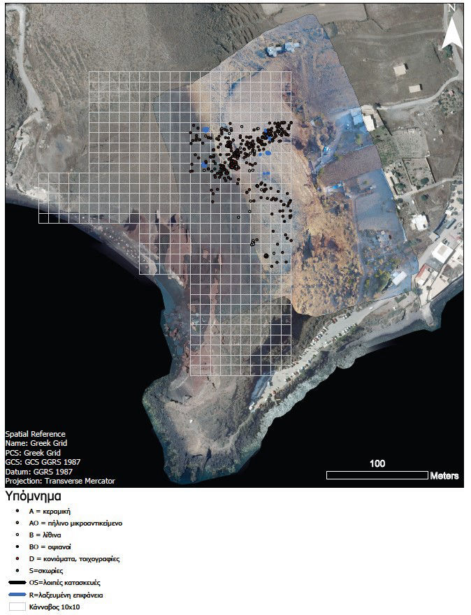
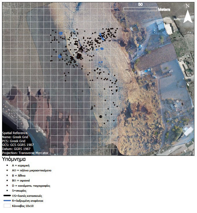
western slopes of the hill—the gridded area of 50 × 50 m squares was further
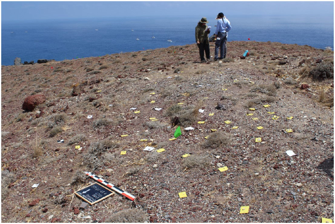
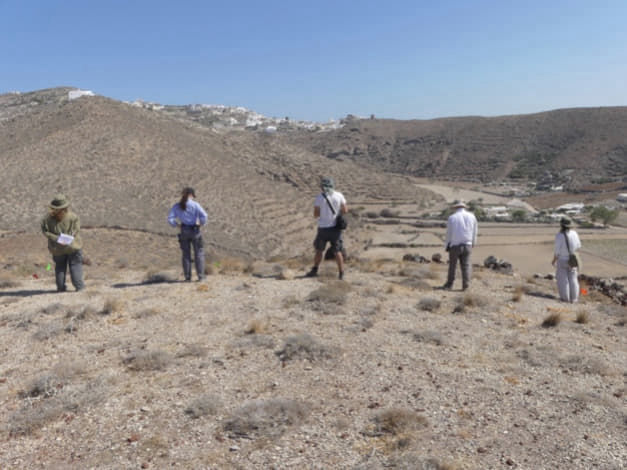
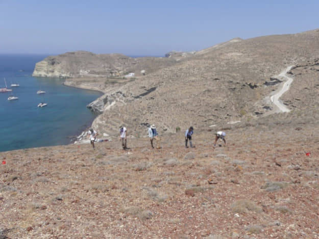
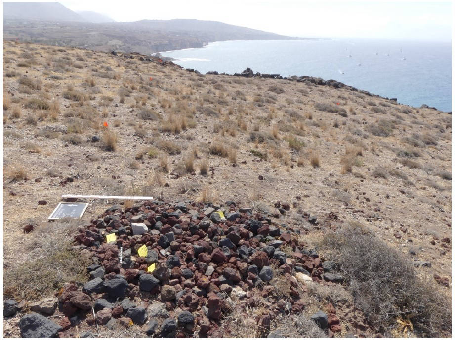
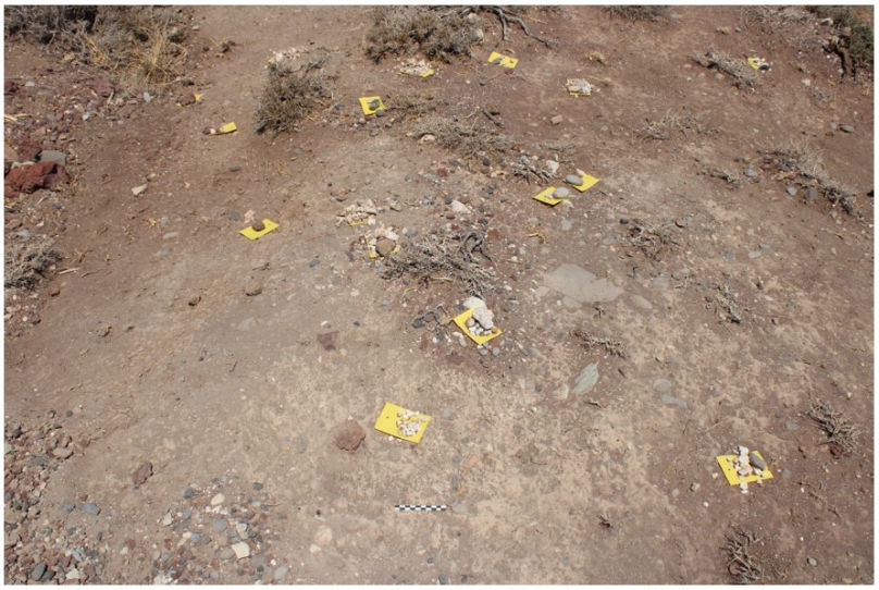
subdivided into 10 × 10 m units. These were systematically walked by a team of five
researchers at 2 m intervals, following standard archaeological surface survey
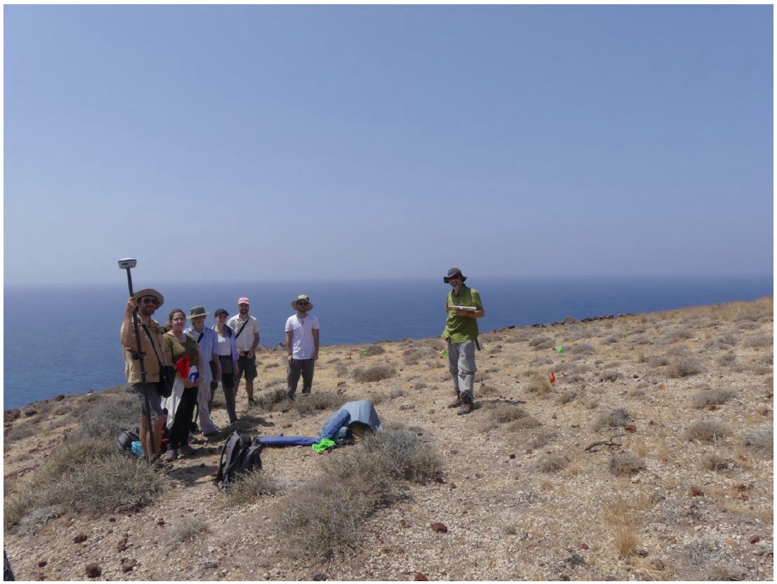
protocols (Image 2a , Image 2b). The 2024 survey team consisted of archaeology students from the University of
Ioannina, Ioanna Spanou and Stelios Stefanou, together with archaeology graduates
G. Varsanis, A. Xenaki, and M. Chalari.
Data collection was carried out using tablets and the KoboToolbox software platform,
a flexible system that allows the creation of customized recording forms and the
secure online storage of data. Three recording forms were developed for the project:
- In situ artifact recording form, documenting the location of each object, its
spatial relationship to the Marinatos excavation trench, GPS coordinates, and
photographs.
- Anthropogenic landscape intervention recording form, documenting human-
made modifications to the landscape (such as rock-cut surfaces), including
their spatial relationship to the Marinatos trench, coordinates, and in situ
photographs.
- Laboratory artifact recording form, containing detailed information on each
object, including its description, decoration, cleaning and conservation
treatments, storage location within the Akrotiri Excavation Pottery Laboratory,
chronological attribution, references to comparable material, descriptions of
laboratory analyses, photographs, and drawings following conservation.
Following data collection, the two forms relating to portable artifacts (field and
laboratory records) can be linked within the R statistical environment, creating an
integrated database with advanced capabilities for data retrieval and analysis.
It is worth noting that the database was designed to accommodate material collected
both before the commencement of the project and during the course of the current
investigation. Consequently, it provides a consistent framework for the efficient
collection, management, and analysis of information throughout all stages of the
research.
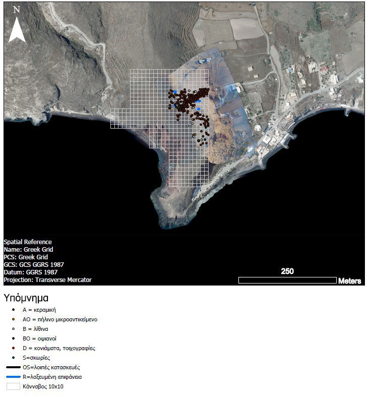
The survey grid, the investigated squares, and the distribution of surface finds by
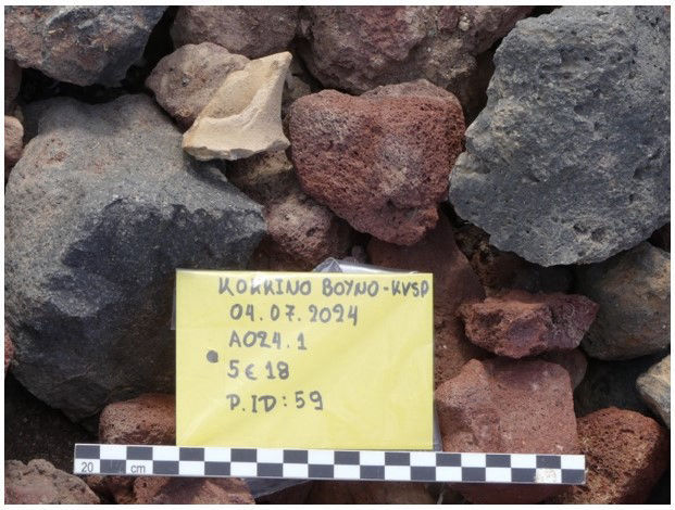
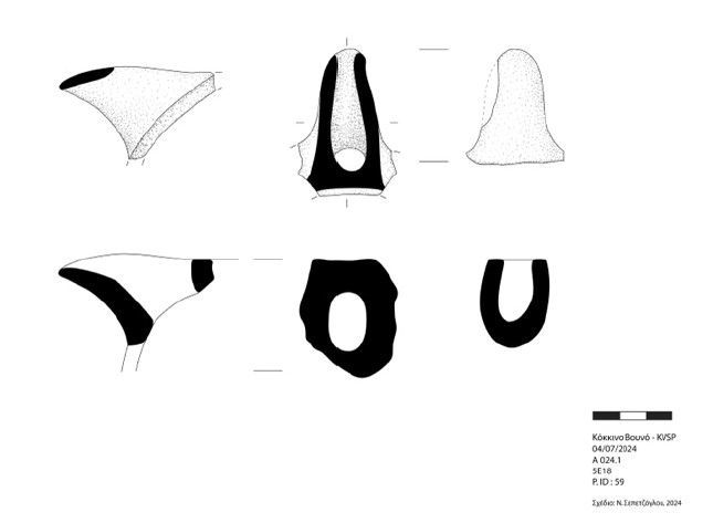
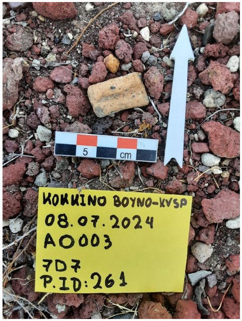
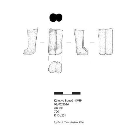
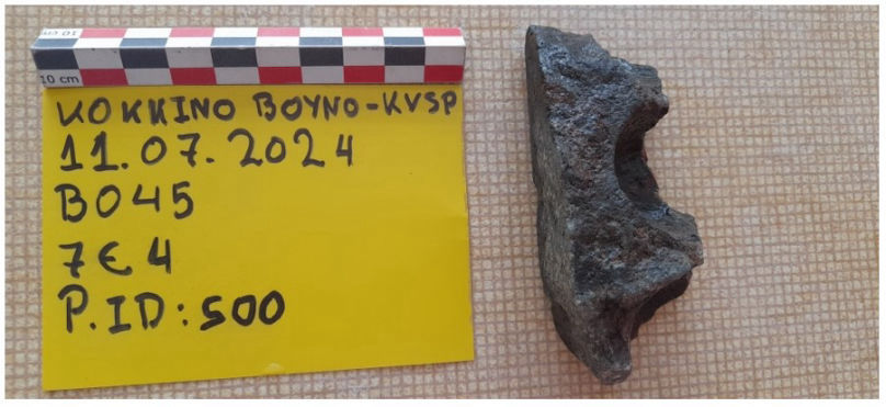
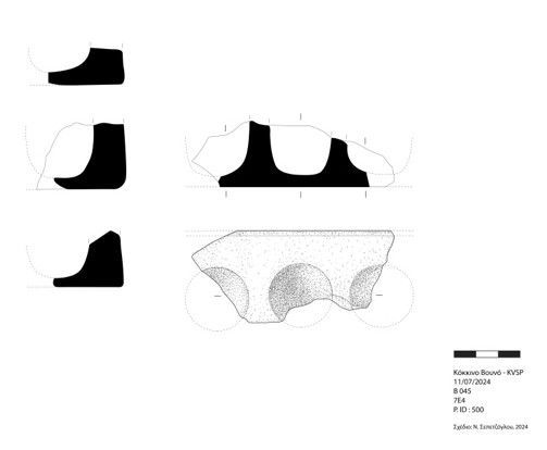
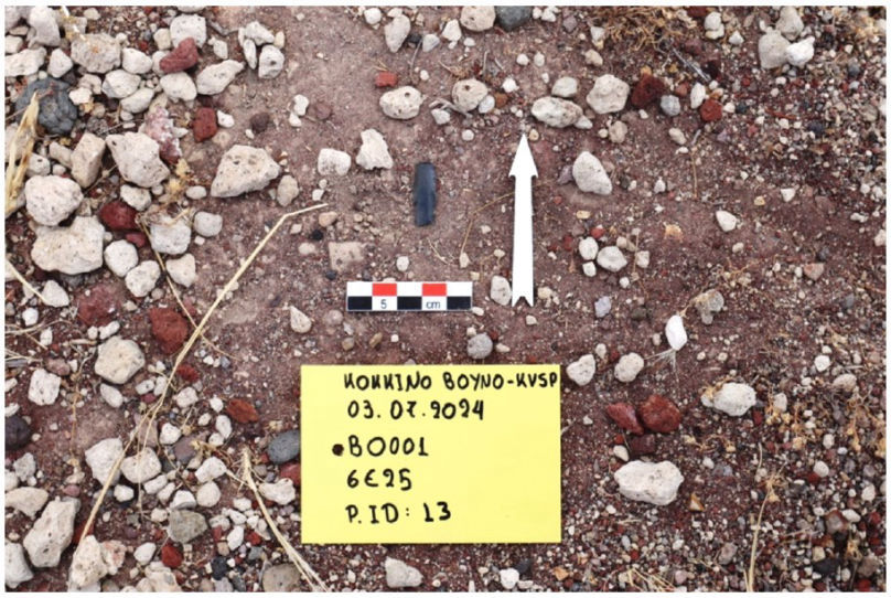
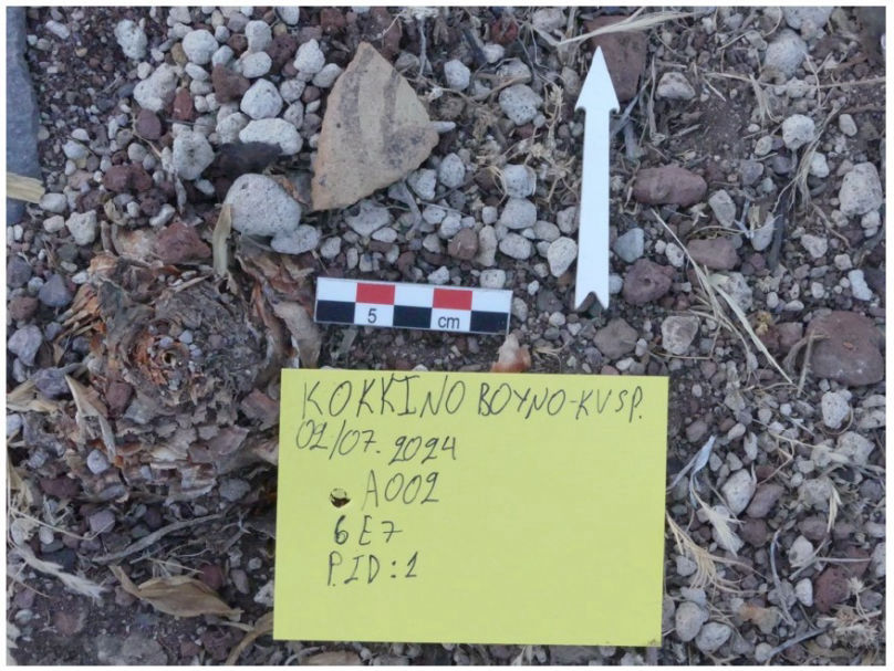
category are illustrated in Images 2, 3, 4. Representative finds from the 2024 field season are presented in Images 5, 6, 7, 8, 9, 10, 11, 12, 13, 14.